Campus Mapping & Digital Twins for School Safety
See Every Room. Tag Every Device. Strengthen Every Response.
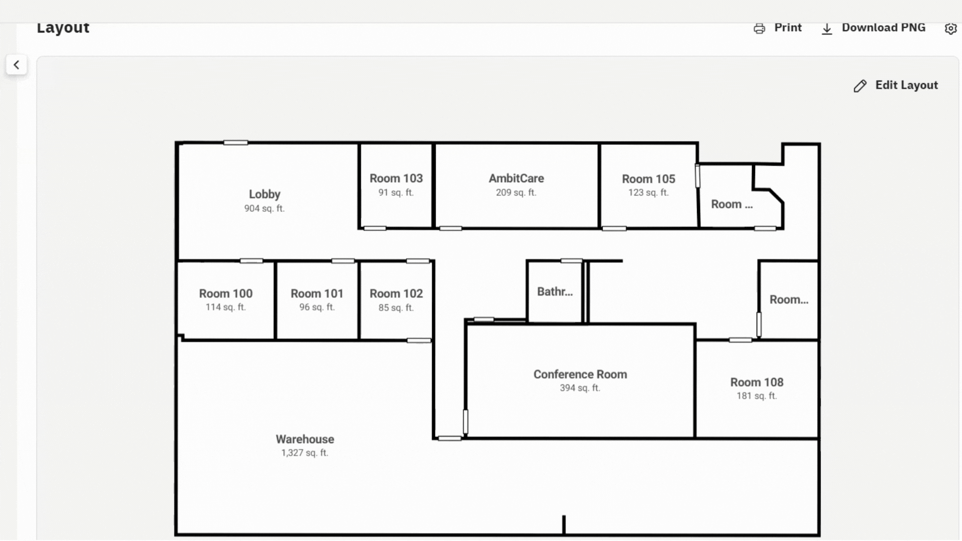
Bring Your Campus to Life — in 2D and 3D
Ambit’s Campus Mapping for Life Safety service creates an exact digital replica of your buildings — accurate down to the inch — giving administrators, IT teams, and first responders a shared, interactive view of every classroom, hallway, and shelter.
This isn’t a typical floor plan.
It’s the foundation for next-generation emergency planning, communication, and funding readiness.
Why It Matters
A clear, accurate view of your campus gives your team and local responders the information they need — before they ever step on site.
With digital campus mapping, administrators can:
– Confirm phone and intercom coverage for full NG911 readiness.
– Verify speaker and alert coverage for emergency notifications.
– Identify access points, cameras, and safety devices across every building.
Every detail you see on the map represents a point of confidence — that your communication, alerting, and safety systems reach where they’re needed most.
Built for Life Safety
Ambit’s mapping solution is designed for schools committed to protecting their people:
Life Safety Compliance
Supports COPS SVPP and other grant requirements for digital school mapping.
Emergency Readiness
Share secure, limited access with police, fire, and EMS.
Communication Integration
Link your Ambit phones, intercoms, and alert systems directly inside your maps.
Device Tagging & Asset Management
Tag cameras, access points, speakers, and phones with serial or MAC details.
How It Works
1. Onsite Capture
Our team scans each building using professional 3D imaging technology to create an exact digital twin of your campus.
2. Layer & Customize
We overlay IT, safety, and infrastructure details for planning and emergency use.
3. Secure Delivery
You receive an encrypted link accessible only to your staff and trusted first responders.
Beyond Visualization — It’s Preparedness
Emergency Coordination – Give responders instant building familiarity before an event.
IT & Infrastructure Planning – Use precise digital layouts for upgrades and renovations.
Safety Training & Drills – Teach staff with real-world visuals instead of static diagrams.
Grant Funding Support – Digital mapping is an approved, fundable safety technology under the COPS SVPP program
Benefits for K–12 Schools
- Faster Emergency Response – Give police, fire, and EMS instant building familiarity.
- Better Internal Planning – Support IT upgrades, renovations, and audits with precision.
- Improved Safety Drills – Train staff and students using realistic visuals.
- Device Tagging & Asset Management – Keep a visual record of boards, cameras, APs, phones, and more with key details like MAC addresses.
- Grant Funding Support – COPS SVPP grants allow digital school mapping as a funded technology (See FAQ p.6)
- ISO 9001:2015 Certified – Demonstrated commitment to quality, consistency, and continual improvement.
See Your Campus Clearly
Bring Safety and Planning Into Focus
Schedule a free consultation with our team and let’s build a smarter, safer campus together.